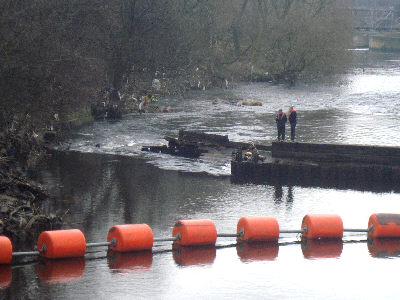
The photo above shows BW staff inspecting the damaged weir. The structure is not normally visible from this viewpoint, indicating how much the level has fallen.
The initial failure dropped the level by a foot or two, then a large section of the weir completely collapsed, rendering the river unnavigable from Kirklees Lower Lock to Cooper Bridge lock cut, including the access to the Huddersfield Broad Canal.

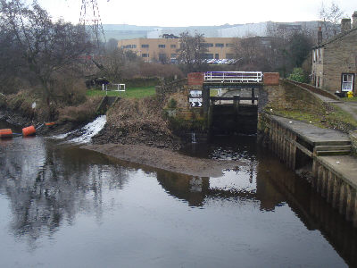
The entrance to the Huddersfield Broad Canal - too shallow to navigate.

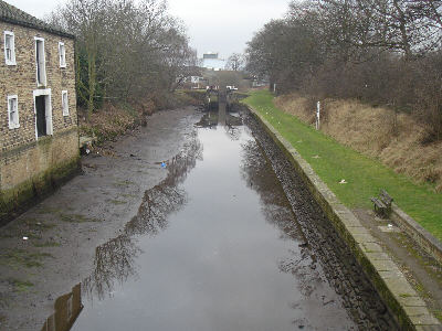
Low levels on the Cooper Bridge lock cut that bypasses the weir.


No comments:
Post a Comment
Please feel free to comment on this item.
If you do not have a Blogger/Google etc account, then please click on "Name/URL" and type in your name or nickname.
If you have no URL you can leave that part blank.
Please do not post as "Anonymous".